Places - Map of Leitrim
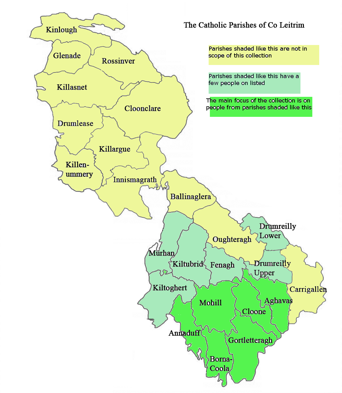
While Leitrim was divided into Civil Parishes for the purposes of administration the boundares of these are now largely forgotten. And while not all of the county's population belonged to the Roman Catholic faith, at least we can say that they all lived within the boundaries of Catholic Parishes.
Today these Catholic Parish boundaries and names are generally recognised in terms of geographic location - at least within the county. For this reason, with apologies to those who have no affiliation to the Catholic church, the Catholic Parishes have been used to define the 6 areas considered within scope of this project.
The map below shows the outline of all of the Catholic Parishes in the county and highlights those deemed within scope of this proejct, and also indicates a few neighbouring ones which are associated with a small number of people shown on this site. Although not shown on the map, note that Bornacoola Parish contains about 15 townlands that are actually in Co Longford and people from these are also included in this collection.
See the Definitions of the townlands within each of the in-scope parishes